
Affiliate disclosure: As an Amazon Associate I earn from qualifying purchases. Amazon links below are paid links; links marked “search” open Amazon search results.
Navigating the open water can be a thrilling experience, but it requires a good understanding of marine charts and GPS technology to ensure safe and successful voyages. For beginners, the world of marine navigation may seem complex, but with the right knowledge and tools, you can navigate with confidence. Here’s a comprehensive guide to help you get started with marine charts and GPS.
Understanding Marine Charts
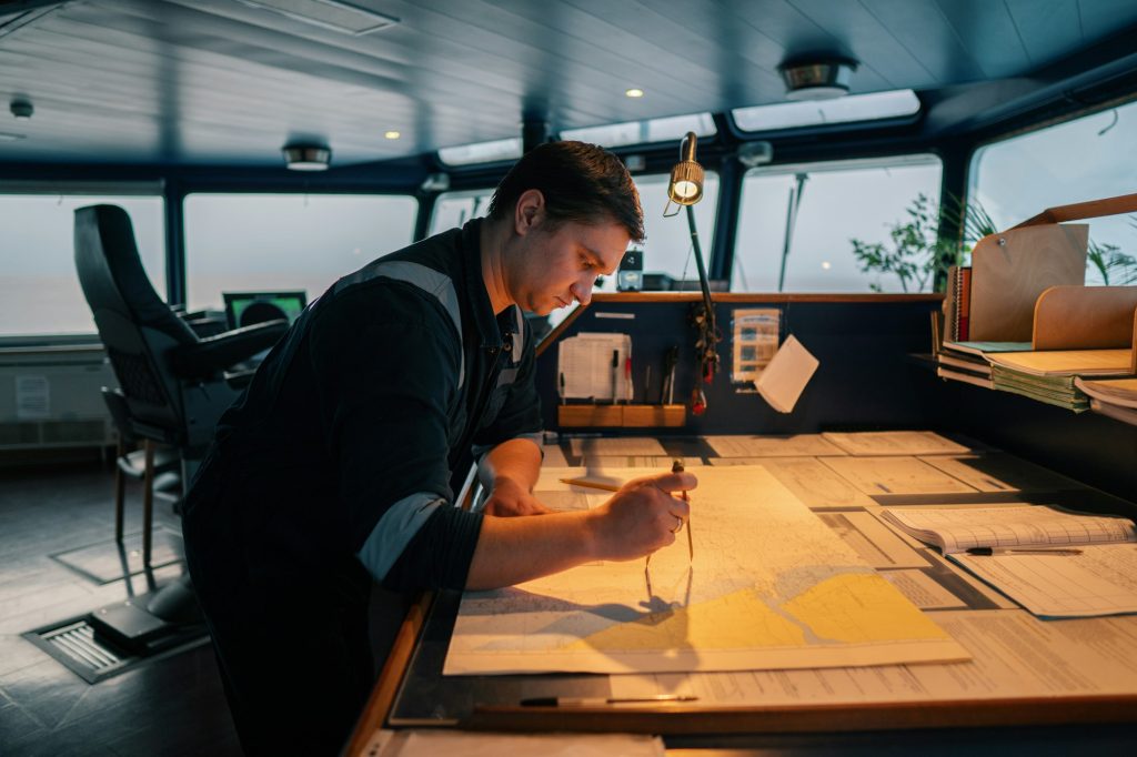
Marine charts are essential tools for safe navigation, providing detailed information about waterways, including depths, hazards, and landmarks. Here’s what you need to know:
Types of Marine Charts
* Nautical Charts: These are detailed maps specifically designed for marine navigation. They show water depths, underwater hazards, navigation aids, and shoreline features.
* Electronic Charts: These digital versions of nautical charts are used with chartplotters (Amazon search, paid link) and GPS devices, providing interactive and up-to-date information.
Key Features of Marine Charts
* Scale: Charts come in different scales. Small-scale charts cover large areas with less detail, ideal for long-distance planning. Large-scale charts provide detailed information about smaller areas, suitable for close-quarters navigation.
* Depth Contours: Lines on the chart that indicate water depth. Understanding these contours helps you avoid shallow areas that could ground your boat.
* Navigation Aids: Symbols indicating buoys, beacons, and lighthouses. These aids help you determine your position and navigate safely.
* Hazards: Markings for rocks, wrecks, reefs, and other potential dangers. Always pay attention to these to avoid accidents.
* Latitude and Longitude: Coordinate grid that helps you determine your precise location and plot your course.
Reading Marine Charts
* Title Block: Found on the chart’s edge, it provides important information such as the chart’s name, scale, and date of the latest update.
* Legend: Explains the symbols and abbreviations used on the chart.
* Compass Rose: Indicates true north and magnetic north, helping you set your course accurately.
* Scale Bar: Shows the chart’s scale, allowing you to measure distances.
Using GPS for Marine Navigation
GPS (Global Positioning System) technology has revolutionized marine navigation, providing real-time positioning and route planning. Here’s how to make the most of your GPS device:
Setting Up Your GPS
* Installation: Ensure your GPS device is properly installed and connected to a power source. Many modern boats come with built-in GPS systems.
* Calibration: Calibrate the device according to the manufacturer’s instructions to ensure accurate readings.
* Updates: Regularly update the software and electronic charts to keep the data current.
Basic GPS Functions
* Positioning: GPS provides your exact location using latitude and longitude coordinates. This helps you determine your position on a marine chart.
* Waypoints: Mark specific locations (waypoints) on your GPS. These can be destinations, hazards, or points of interest.
* Routes: Create routes by connecting multiple waypoints. GPS will guide you along this path, making navigation easier.
* Tracking: GPS tracks your boat’s movement, allowing you to review your path and adjust your course as needed.
Navigating with GPS
* Plotting a Course: Use your marine chart to plan your route, then input the waypoints into your GPS. Ensure the route avoids hazards and considers depth contours.
* Following the Route: Monitor the GPS screen and follow the suggested path. Pay attention to any alerts for course corrections or approaching hazards.
* Backup Plan: Always have a backup plan in case your GPS fails. Carry paper charts and a compass, and know how to use them.
Combining Marine Charts and GPS
Using marine charts and GPS together enhances your navigation capabilities:
* Pre-Trip Planning: Use marine charts to plan your route, considering factors like depth, hazards, and navigation aids. Input this information into your GPS.
* Real-Time Navigation: While on the water, use GPS for real-time positioning and route tracking. Refer to your marine charts for a broader understanding of the area and to verify GPS data.
* Continuous Learning: Regularly practice reading marine charts and using your GPS to build your confidence and skills.
Conclusion
Navigating with confidence requires a good grasp of marine charts and GPS technology. By understanding how to read charts, setting up and using your GPS, and combining these tools effectively, you can ensure safe and enjoyable boating experiences. Whether you’re planning a short trip or a long voyage, these skills will serve you well on the water.
For more navigation tips and resources, visit www.kitsapsailing.com. Equip yourself with the knowledge and tools to navigate confidently and explore the open water with ease!